Why have survey teams failed to agree on Migingo?

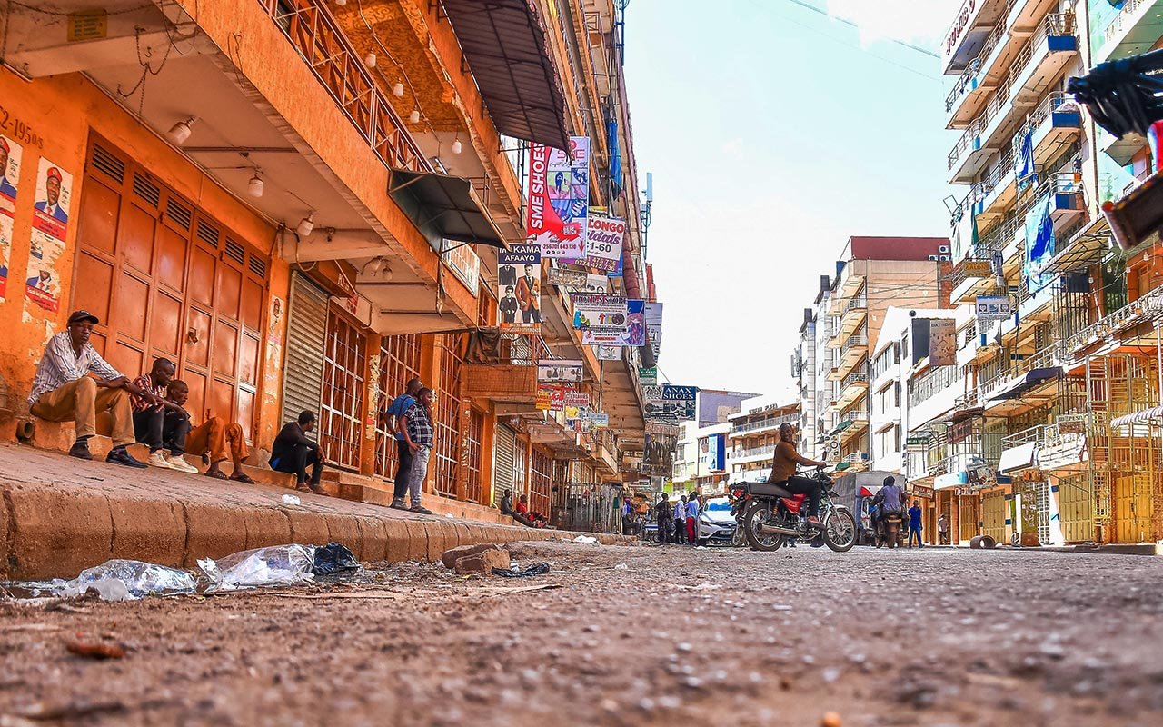
The unresolved dispute over the tiny Migingo Island (in background) on Lake Victoria has been on-going since 2009. FILE PHOTO
Last week, Kenyan Members of Parliament reignited the controversial debate on the disputed rocky Migingo Island. Some legislators even called for extreme action including invading Uganda if diplomatic channels failed to solve the ownership wrangle.
The resumption of the contentious issue came days after Uganda police, which mans the security at the island, arrested two clerks of the Kenyan electoral commission that were registering Kenyans living on the island for the forthcoming election.
So far, two joint technical survey teams have been set up since 2009 under the aegis of the March 2009 and May 2009 Kampala and Nairobi joint communiqués of presidents Yoweri Museveni (Uganda) and Mwai Kibaki (Kenya), and a third one set up in March last year, but none has been able to resolve the dispute, perhaps confirming suspicion that the dispute is really not geographical but political and economic.


What do the documents say?
It is important to note that three documents are critical to resolving this matter, first and foremost being the very elaborately written-out British Order in Council of 1926 that established the current Uganda-Kenya boundary complete with coordinates, pillars and natural features, then the Schedule 2 of the Uganda Constitution (1995) which was simply transplanted from Schedule 1 of the 1967 Uganda Constitution, and then The Kenya Colony and Protectorate (Boundaries) Order in Council 1926, and Kenya Legal Notice No. 718 of 1963, Schedule II Boundaries, Part I, the Districts, 37. Busia District, pp. 290.
The writer has seen the contents of these documents (see quotes from Uganda and Kenya constitutions) and they are fundamentally in agreement save perhaps for the fact that the Uganda Constitution’s starting point of delineating its eastern border is at the tri-point of Uganda, Kenya and Sudan which is approximately 31.5 miles north of Mt Zulia and ending at the tri-point of Uganda, Tanzania and Kenya which is at the first parallel south (1 degree south latitude) and approximately 33 degrees and 56 minutes east longitude).
Kenya’s boundary delineation on the other hand begins in Lake Victoria, at the Tanzania, Uganda and Kenya tri-point (which is not in dispute) and ends at the Sudan, Uganda and Kenya tri-point.
The same information is contained in “International Boundary Study No. 139 August 27, 1973 of Kenya - Uganda Boundary” by the US State Department, and another publication; African Boundaries: A Legal and Diplomatic Encyclopaedia by Ian Brownlie of Royal Institute of International Affairs and published by C. Hurst & Co. Publishers (1979) in which the Kenya-Uganda border is described on page 946.
Overall, the Kenya-Uganda boundary extends for approximately 580 miles (933km), and the Lake Victoria segment is approximately 86 miles (138km).
It is important to note that the colonial boundary demarcations in Lake Victoria followed natural features that principally included the thalweg of River Sio and a chain of islands with straight connecting points.
‘Say the same thing’
From both the Constitution of Uganda, 1995, and Kenya Colony and Protectorate (Boundaries) Order in Council, 1926, it is clear that the two documents say the same thing with one starting from the north and the other from the south.
The key to ending the dispute therefore lies in identifying Pyramid Island and defining where approximately 33 degrees 56 minutes east lies on the first parallel latitude.
According to International Boundary Study No. 71 - 27 May 1966, Kenya– Tanzania, the “Tanzania boundary extends for approximately 478 miles between Lake Victoria and the Indian Ocean. The Uganda tripoint is located on the 1st parallel South and about 33° 56’ E longitude.” This is the same point as defined in Uganda and Kenya constitutions.
So what is the basis of the dispute and why have the technical survey teams failed to agree?
According to a member of the joint Uganda-Kenya survey team this writer spoke to on condition of anonymity, the last attempt by the surveyors to delineate the boundary broke down for basically two reasons: One, that Ugandans wanted permanent marking to be placed in the lake by way of buoys to mark the areas already agreed which Kenyans did not want, and two which of the three Migingo Islands is the Pyramid Island described in the colonial boundary documents.
The Ugandan team insists the island shaped like a pyramid is the Pyramid Island referred to while the Kenyan team insists that the bigger Island south of the two is the Pyramid Island in question. Kenyan’s instead referred to what Ugandans call Pyramid Island variously as Elephant Island (this name is not documented anywhere) and Ugingo Island (likely a miss-spelling in one of the colonial maps published in The Standard).
The fact is the disputed island lies west of Pyramid or Elephant or Ugingo which would put it in Uganda.
If however the boundary is the bigger island down south which is not shaped like a pyramid but could pass off as an elephant, then the entire three islands collectively known as Migingo would be in Kenya.
It’s therefore down to semantics (with Kenya inventing new names for the islands which were collectively named) and optics to determine which island is pyramidal; the most likely reason why of all islands in the lake only this was described by an English name.
It is also important to note that the one-acre disputed island which is barely three feet above the water may have been a small inconsequential rock jutting out of the water at the time of demarcation in 1926 and therefore the colonialists could, in their wisdom, have decided to put Pyramid Island in Kenya and the bigger island south in Uganda.
The fact that the coordinates are approximated and not exact also adds more confusion to the dispute. According to Google Earth coordinates, the bigger island south which Kenya refers to as Pyramid starts at 33° 56’ E longitude and ends at 33° 56’ 38.68’’ E while the island Uganda refers to as Pyramid starts at 33° 56’ 22.64’’ E and ends at 33° 56’ 34.62’’ E.
If the documents mentioned the coordinates exactly, Kenya would win the argument but all the documents say “approximately 33° 56’ E” not “exactly 33° 56’ E”! Given that all the islands fall in the approximate description, then the determinant must be why a particular island was called Pyramid and which island it is!
In that case, Uganda wins the argument but it would require an independent eye to point which of the islands is shaped like a pyramid for Kenya to accept.
Indeed even from Google Earth images, it’s very clear one of the islands is shaped like a pyramid.
What Kenya colony order in council says
Kenya Colony and Protectorate (Boundaries) Order in Council, 1926: “The first sector begins in Lake Victoria at the Tanzania tri-point, which is located on the first parallel south and approximately 33 degrees 56 minutes east longitude.
(1) Boundary from one degree south latitude, through Lake Victoria to the mouth of the Sio River. Commencing in the waters of Lake Victoria on a parallel 1 degree south latitude, at a point due south of the westernmost point of Pyramid Island; thence the boundary follows a straight line due north to that point; thence continuing by a straight line northerly to the most westerly point of Ilemba Island; thence by straight line, still northerly, to the most westerly point of Kiringiti Islans; thence by a straight line, still northerly, to the most westerly point of Mageta Island; thence by straight line north-westerly to the most southerly point of Sumba Island; thence by south-western and western shores of that island to its most northerly point; thence by straight line north-easterly to the centre of the mouth of the Sio River.
(Source: International Boundary Study No. 139 – August 27, 1973 Kenya – Uganda Boundary, Bureau of Intelligence and Research, DEPT of STATE, USA)
Genesis of conflict
Migingo (which means abandoned place in Luo) were not occupied until possibly the early 1990s when a few fishermen established camp, usually for a few days as they smoked and dried surplus stocks of their cache. Permanent settlement on the islands only came in the late 1990s.
It is critical to note that contrary to media reports and public perception, the name Migingo does not refer to a single island, rather it refers to the set of three islands, just like Ssese is not one island but more than 80 islands.
Of the three, only one, the smallest is occupied with the other two being too steep for settlement, let alone docking of boats.
Uganda’s claim is based on the provisions of the Uganda Constitution and the 1926 British Order in Council that demarcated the boundary.
Kenya’s claim on the other hand is based on the 1926 British Order in Council and mostly sentimental reasons, among which is that the islands are nearer Kenya than Uganda and that the occupants are Luo of Kenya, and the name is Luo.
Unfortunately, boundaries are not simplistically defined or determined by gut-feelings, perceptions or wishes; they are scientific and must be measured – on the ground.
Chronology of events
October 27, 2008: Kenyan authorities warn Ugandan government to stop claiming ownership of the disputed island.
April 24, 2009: President Paul Kagame of Rwanda offers to intervene in the row over Migingo Island if it worsens.
May 6, 2009: Ugandan government says colonial maps it procured from London prior to the start of survey work on the disputed island of Migingo are “vague” and do not say whether it is on Kenyan or Ugandan territory.
July 24, 2009: The fight over the ownership of Migingo Island has taken another twist with Uganda now threatening to petition the International Court in The Hague.
May 23, 2011: Kenyan officials accuse Uganda of establishing structures and a police unit on their Island-Ugingo, near the disputed Migingo Island.
June 1, 2011: President Mwai Kibaki on says Migingo Island is on Kenyan territory.
August 19, 2011: Internal Affairs minister Hillary Onek accuses the Kenyan government of violating a gentleman’s agreement and deploying police officers on the contested island.
August 24, 2011: Uganda and Kenya agree to jointly police Migingo Island.
July 11, 2013: Uganda police increases its human resource and equipment capabilities on Lake Victoria.
May 28, 2014: Uganda Marine officers and Kenya Local Administration police involve in a shootout at Migingo Island.
August 11, 2014: Ugandans residing on the disputed Migingo Island left out of the census exercise.
March 27, 2015: Uganda, Kenya start fresh border survey.
March 9, 2016: Police arrest two Kenyan boundaries clerks on Migingo.
March 17, 2016: Kenyan MP calls for war over Migingo.