Prime
Satellite technology to help farmers
What you need to know:
- Using the satellite imagery the experts are able to analyse soil texture and advice farmers accordingly which soil in a specific farm requires boosting with fertiliser and manure to acquire better yields
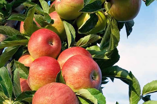
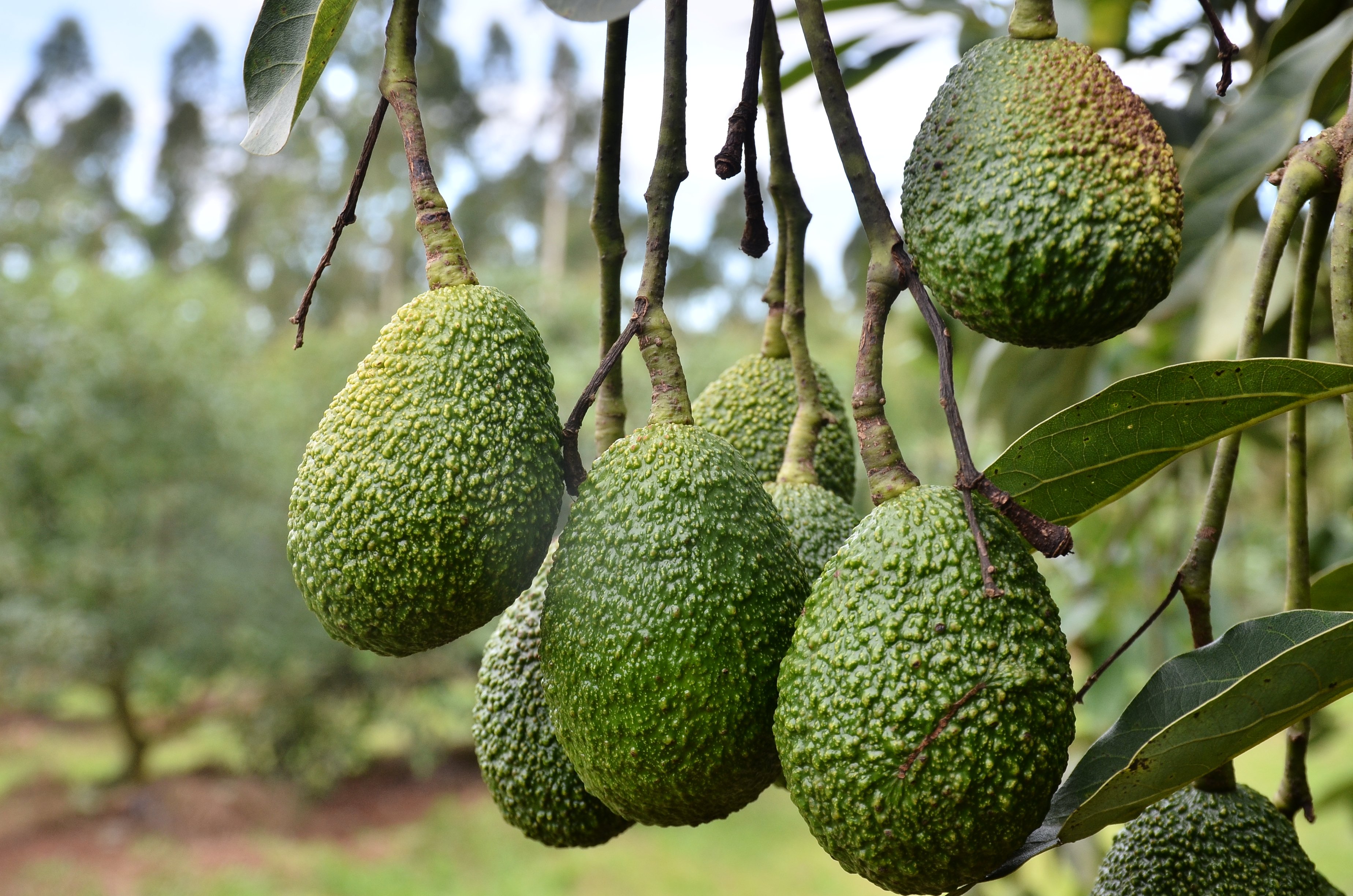
Technology is fast growing for scientists to detect the type of suitable cropping land full of vegetation for farmers to use to get good yield.
This can be done using satellite imagery where scientists are able to access data on digital Earth Website where they can upload information about a specific farm and analyse whether the farmer’s plants are doing well or not and advice accordingly.
This was revealed during a sensitization meeting where Geoscientists are being trained in analysing information on the digital earth website to help solve climate change challenges faced by farmers and the general community in the Country.

The meeting was organised by Association for Strengthening Agricultural Research in Eastern and Central Africa
The aim is for Geo scientists to use satellite imagery to access accurate information in a bid to help farmers and communities address challenges they are facing in a far as climate change effects are concerned.
Backgrounds
According to scientists at Digital Earth Africa, it is a platform which was established three years majorly for cropland mapping for purposes of assisting farmers in addressing food insecurity.
Scientists do this by providing precise and accurate cropland mapping by using maps about watering intensity, crop types, vegetation types that can provide higher yields among others.
These services provide accurate high resolutions and regular updated cropland map areas and data sets for the continent to address gaps in the current crop monitoring.
Sensitisation exercise
The programme officer for technology and innovations at Association for Strengthening Agricultural Research in Eastern and Central Africa (ASARECA) Joshua Okonya says his team is building capacity of routine users of earth observation data.
The data will help them access information about plant health on farmer fields including water density of water bodies which can be used by farmers in irrigating their farms.
“Once the scientists absorb the gist of the technology, they can give advisory information to famers especially about the weather forecast,” he says.
Using the satellite imagery the experts are able to analyse soil texture and advice farmers accordingly which soil in a specific farm requires boosting with fertiliser and manure to acquire better yields.
Useful satellite information
Digital Earth Africa user engagement manager Joseph Tuyishimire explaining how information can be accessed on the digital earth satellite notes that there are several notebooks where information is stored.
The information can be stored inform of maps where scientists can analyse plant health, water density, data on soil fertility including farming in wetlands among others.
Once a scientist logs to the website and identifies a specific notebook of interest, he or she can get a map that is capable of analysing the vegetation of a specific farm.
Data on vegetation
If the vegetation is green at a certain period, this means there has been enough water source in the areas meaning such a farm is good for farming. The scientist through extension service providers will be in position to pass on advisory information for the farmer to plant at such a time when there is greenery.
Data on plant health
The second notebook can provide data about a farmer’s plant health because the map will be able to show if the plants are infested with disease, or they are drying up due to prolonged drought. The farmer will be advised accordingly to take precaution measures.
Here the scientist may be interested in observing the chlorophyll content to notice that the plant is healthy.
The live example could be in observing Irish Potato health in farmer fields in Kabale and Kisoro districts. In case the map is showing the leaves are green, then it is presumed healthy. In case the leaves are withering, then there is sign of pest and disease infection.
Scientists can use this information to reach out to the famers to adopt good agronomy practices to correct the situation in order to get high yields.
Data on water density
Tuyishimire explained that here scientists are able to observe from space and monitor the density of say Lake Kyoga and be able to tell if its size is increasing or decreasing.
In case it is decreasing, then there is challenge for fishermen and they will be advised not to over fish otherwise the fish species will be extinct.
In case the water is in increasing, this can lead to over flooding which will end up destroying the crops in farms close to the water body leading to yield loss.
How the notebook is created
This technology is implemented under a one year project where scientists secured a server with 24 hour enabled internet connectivity to host the regional mapping centre in Pretoria, South Africa.
This is done in collaboration with agriculture scientists from Australian Centre for International Agriculture and Research who have been using the technology to help their farmers in solving climate change related challenges.
It is the duty of scientists at Digital Earth Africa to create the various notebooks with all the information which is uploaded in the data base called Sand box.
There is a code developed for scientists to access a particular data set which will process the required information.
Experts have to register in order to access the information required. This is for purposes of the programmers to know how many people can be accommodated and the access to information is free of charge.
It is a technology which requires use of internet meaning experts have to be online in order to access the information required.
Data on plant health
The second notebook can provide data about a farmer’s plant health because the map will be able to show if the plants are infested with disease, or they are drying up due to prolonged drought. The farmer will be advised accordingly to take precaution measures.