Prime
Weather mapping tool to benefit farmers
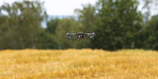
Digital technologies like drones are being heavily promoted to address the threats of climate change and biodiversity loss. Photo | Unsplash
What you need to know:
- Technology is rapidly expanding in the agricultural sector, with the digital farming market expected to reach the $15b mark in 2023, according to PA Consulting, three times more than the $5b generated in 2015.
When we think of technology in agriculture, what often comes to mind is tractors and harvesters. But, in today’s world, we now have drones that detect pests, sensors that monitor soil temperature or moisture, algorithms that advise on the amount of fertiliser or pesticide to use and blockchain systems that allow a product to be traced from origin to consumer.
Technology is rapidly expanding in the agricultural sector, with the digital farming market expected to reach the $15b mark in 2023, according to PA Consulting, three times more than the $5b generated in 2015.
And one of the keys is satellite imagery which is important for weather mapping to improve Africa’s food crop production as well as animal husbandry including poultry and fish breeding.
African scientists partnering with colleagues in Australia are using Digital Earth Technology to help in space-based climate and weather predictions especially to help the farming communities
Background
The Digital Earth Africa platform was established three years ago majorly for cropland mapping for purposes of assisting farmers in addressing food insecurity.
This is done by providing precise and accurate cropland mapping by using space maps about watering intensities, crop types and crop productivity in African farm lands.
These service provides accurate high resolutions and regular updated cropland map areas and data sets for the continent to address gaps in the current crop monitoring.
In a publication by experts working for the European commission, they define Digital Earth as a concept of an interactive digital replica of the entire planet that can facilitate a shared understanding of the multiple relationship between the physical and natural environment society.
They state that for this to work well it must be accessible globally from multiple platforms such as mobile tablets and computers where information is displayed and easily understood by multiple audience such as scientists, policy makers and other beneficiaries.
This means the data must be updated with the existing ones coming from the space based sensors.
Implementation
The Programme officer for Technology and Innovations at Association for Strengthening Agricultural Research in Eastern and Central Africa (ASARECA) Joshua Okonya notes that there are climate variances arising from climate change effects which is affecting food security.
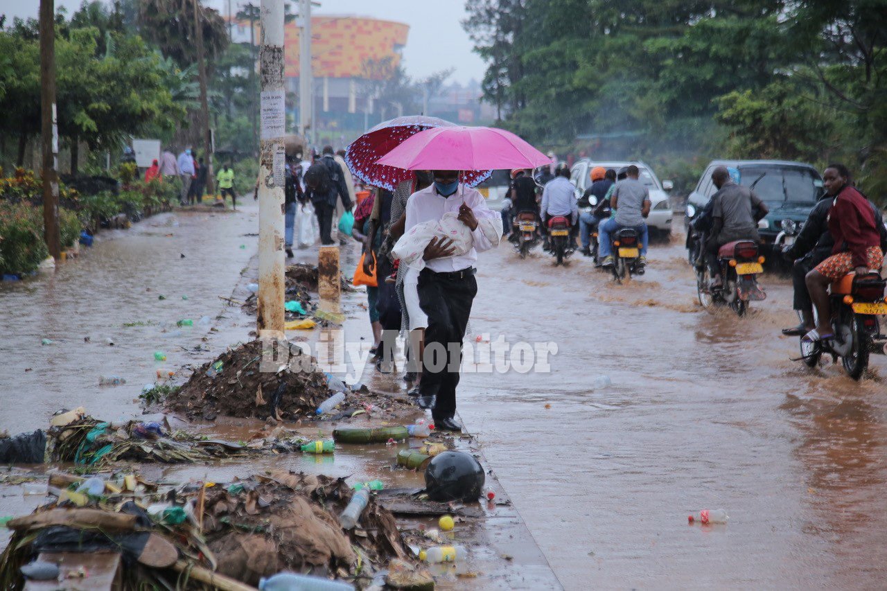
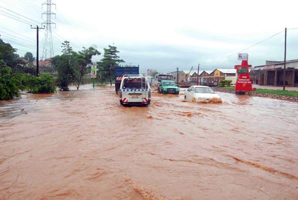
“Weather conditions are now not conducive for farmers to produce appropriate food and livestock for nutrition. Apparently there are erratic floods and prolonged drought occurrence as a result of climate change. This is the reason geoscientists are coming up with the idea of monitoring the weather conditions using space science to help solve these challenges,” he notes.
The one-year pilot project is jointly implemented by scientists from the Australian Centre for International Agriculture and Research who are already using the technology to help their farmers achieve improved yields.
Once the project is successful the team will still corporate on a five year project about the same which is in the offing.
Dr Kenneth Mubea, the capacity development lead specialist explains that scientists secured a server with 24-hour enabled internet connectivity to host the regional mapping centre in Pretoria, South Africa.
Much of the data collected is about farmer water usage on their farms, soil fertility and appropriate weather for farmers to manage their crop farming. The data is freely available online at digitalearthafrica.org.
Uniqueness
What is unique is that a geoscientists can apply the technology by remote observation in a farmer field to ascertain if the yields are good or not and advice the farmer accordingly.
The scientists are also able to assess the topography of specific land to establish if fertile land for farming is or not. In case the drought conditions are prolonged in such an area, then the farmers will be advised to engage in other activities such as cattle rearing by providing hay and water for the animal survival.
The target is to empower scientists in Universities to engage in imagery mapping which can be uploaded on the space server for stakeholders to access
So far 25 data publications have been uploaded from scientists in Ghana, Tanzania and Zanzibar about mangroves. In Mozambique and Zambia, the scientists have teamed up with experts in Food and Agriculture Organisation to help farmers with information about weather forecasts and land vegetation to address the issue of food security using Digital Earth Africa space server.
Further projects in Rwanda and Mozambique in partnership with FAO focus on use of semi-automatic land cover mapping including identification of field boundaries.
What has been done in Uganda?
According to Dr Mubea, a test weather station was established at Wanyange Girls SS in eastern Uganda five years ago at the school compound.
Students are taken through on how to predict weather for appropriate forecast through their geography teachers.
Once the students are home they able to help their parents who are farmers by predicting the weather patterns in order to follow the right planting season to acquire appropriate yields.
They also launched a collaboration with Scientists the National Agricultural Research Laboratories (NaRL) in Kawanda climate change unit to study the banana plantations under trial in Nabweru, Wakiso District.
According to Dr Evelyn Kobutungi, the head of Climate Change Unit at the Institute, scientists conducting banana trials will be able to monitor the growth of the banana plantation through remote sensing.
They will be able notice if the plantation if infested with pests such as nematodes and diseases such as bacterial wilt, black sigatoka or Fusarium wilt causing yield loss.
This kind of observation will inform agricultural policy makers to support the UN sustainable agenda on agriculture.
TARGET
The target is to empower scientists in Universities to engage in imagery mapping which can be uploaded on the space server for stakeholders to access
So far 25 data publications have been uploaded from scientists in Ghana, Tanzania and Zanzibar about mangroves. In Mozambique and Zambia, the scientists have teamed up with experts in Food and Agriculture Organisation to help farmers with information about weather forecasts and land vegetation to address the issue of food security using Digital Earth Africa space server.