Govt launches online portal to monitor destruction of environment
The government has launched an online portal that will enable policymakers to access customised satellite data on the level of environmental degradation in the country.
What you need to know:
- Dr Jane Bemigisha, the executive director of Environmental Surveys Information, Planning and Policy Systems (ESIPPS), said: “Policy makers should embrace the technology and also organise the relevant staff to use the portal because it is a bit technical.”
The government has launched an online portal that will enable policymakers to access customised satellite data on the level of environmental degradation in the country.
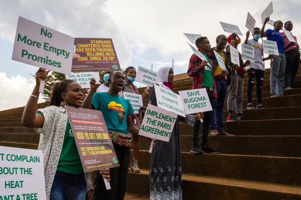
The development comes at a time when the country has lost a lot of natural resources that support important sectors such as tourism and agriculture, a trend which is posing a big threat to economic development.
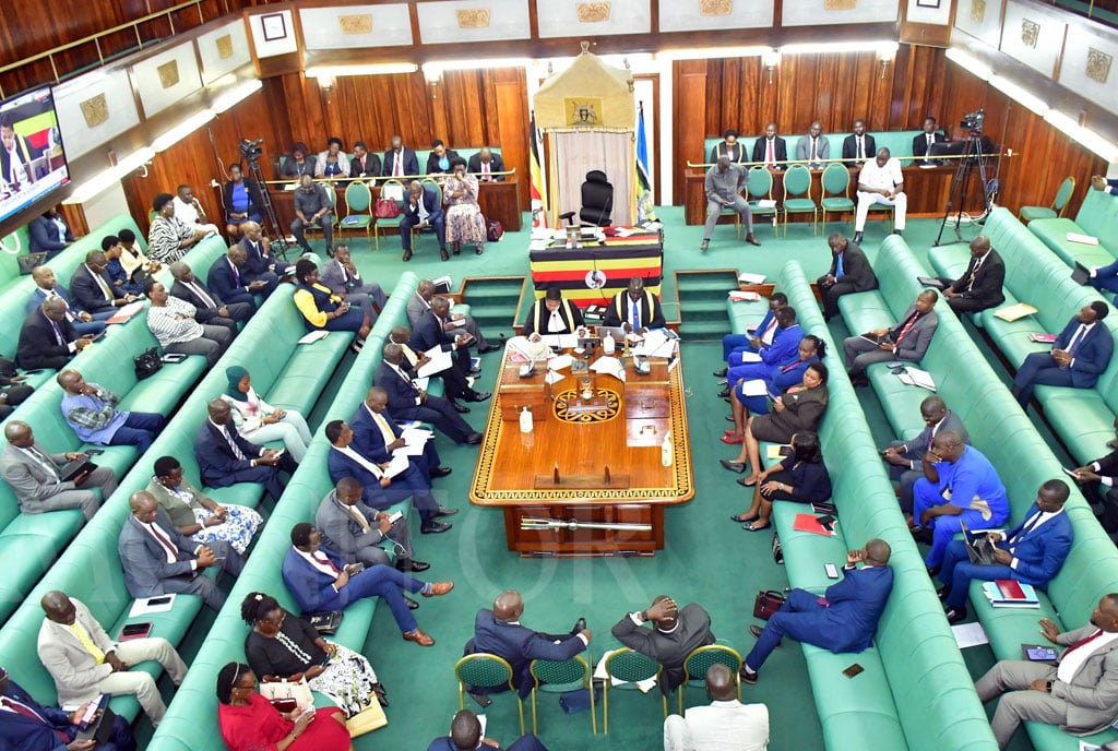
Mr Grace Kagoro, the commissioner for lands management at the Ministry of Lands, Housing and Urban Development, yesterday said at the launch in Kampala that the portal will cut costs and allow for evidence-based decision making.
“That satellite data was being purchased by the government from foreign vendors. The Regional Centre for Mapping of Resources for Development (RCMRD), being an international organisation where Uganda is a member state, we shall be getting the data we need freely and also giving feedback on the quality of data,” the commissioner said.
“The environment and climate change are the game changers if we are to continue surviving on this planet. We should also address the issues of land degradation,” Mr Kagoro added.


Up to 42 per cent of Uganda’s wetlands have been degraded in the last 20 years and experts warn that by 2046, these will be no more if no serious action is taken. More than half of the forest cover was also lost between 1990 and 2017, according to government statistics.
Prof Anthony Gidudu from the Department of Geometrics and Land Management at Makerere University, who is also one of the experts implementing the RCMRD in the country, explained that the platform relies on satellite images.
“The system will help us make the best use of earth observation in addressing society needs and challenges. The earth observation is done by satellites that are orbiting the earth and over time, they have collected images and the quest is how we can use the data to inform policies around the degradation of wetlands and forests,” Prof Gidudu said.
“The data is accurate and archived in the online portal to allow for easy access and analysis. It can help us determine more accurately the trend of the degradation. Real-time monitoring of the state of degradation is also possible,” he added. The portal, which is open to the public, can be accessed through this website http://geoportal.rcmrd.org/, according to Mr Degelo Sendabo from the RCMRD.
Dr Jane Bemigisha, the executive director of Environmental Surveys Information, Planning and Policy Systems (ESIPPS), said: “Policy makers should embrace the technology and also organise the relevant staff to use the portal because it is a bit technical.”
Prof Gidudu said: “The main challenge with accessing the data in the portal in the country is due to slow speed and heavy taxes on the Internet and government should work on this.”
Worrying Trend
The development comes at a time when the country has lost a lot of the natural resources that support important sectors such as tourism and agriculture, a trend which is posing a big threat to economic development. Up to 42 per cent of Uganda’s wetlands have been degraded in the last 20 years and experts warn that by 2046, these will no more if no serious action is taken. More than half of the forest cover was also lost between 1990 and 2017, according to government statistics.