Prime
How satellite will benefit Ugandans

The Minister of Science, Technology and Innovation, Ms Monica Musenero, and the satellite engineers Mr Bonny Omara (left) and Mr Edgar Mujuni celebrate the launch of the Ugandan satellite into space at Kololo Independence Grounds yesterday. PHOTO / ABUBAKER LUBOWA
What you need to know:
- The inaccuracies in weather prediction have in the past years caused significant losses to farmers and affected food security, in a country where around 70 percent of the citizens rely on agriculture for livelihood.
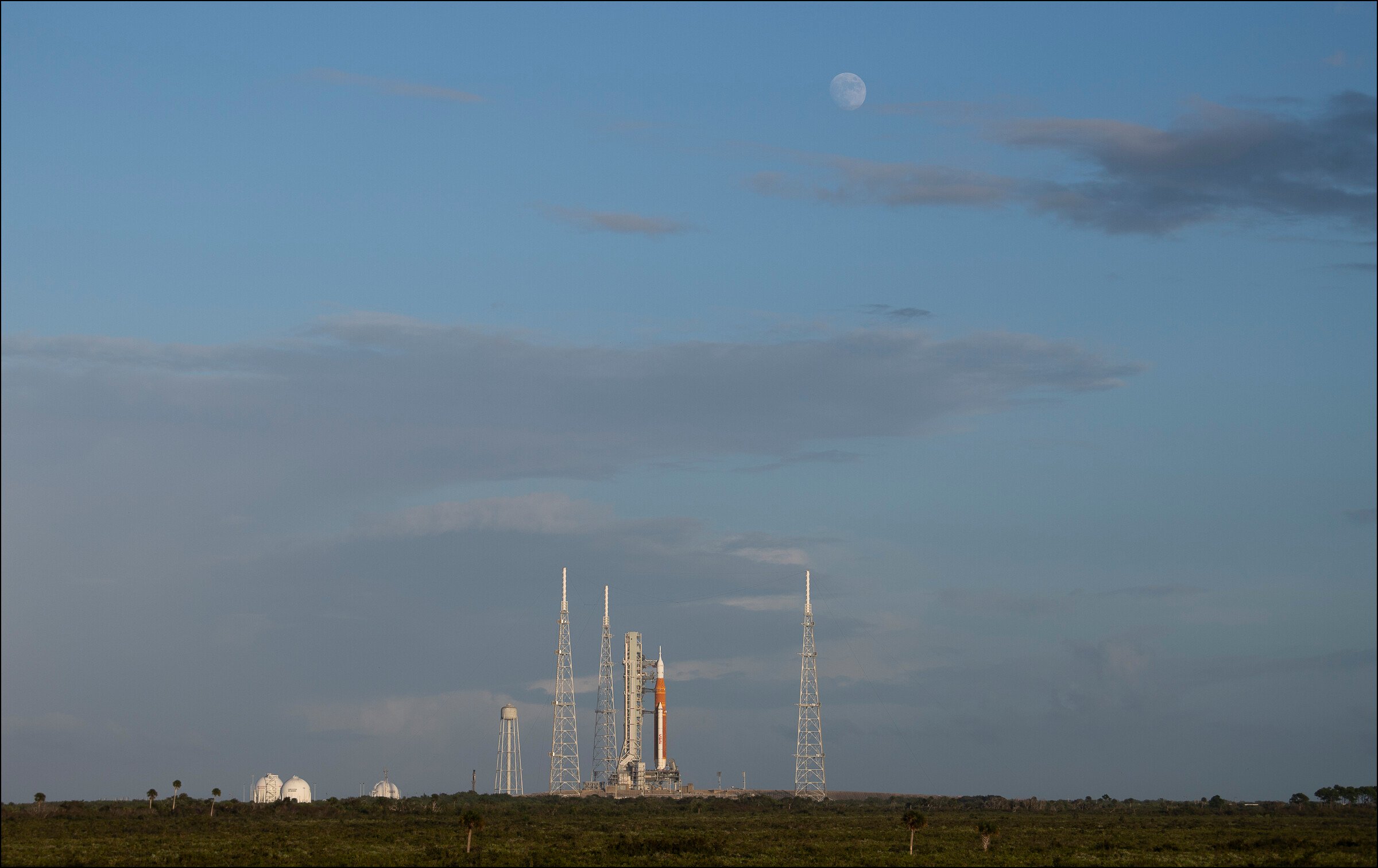
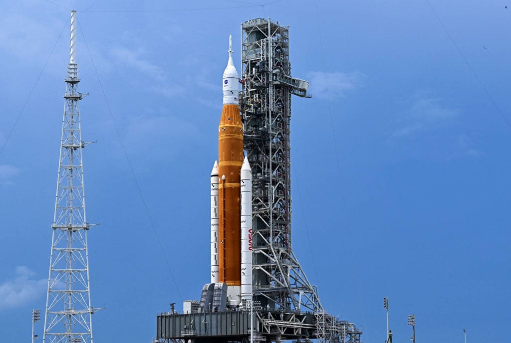
The government has said the country’s satellite, which was launched by the American space agency yesterday, will improve the accuracy of weather and disaster prediction, mineral mapping, disease and border monitoring in Uganda.
The inaccuracies in weather prediction have in the past years caused significant losses to farmers and affected food security, in a country where around 70 percent of the citizens rely on agriculture for livelihood.
The satellite was developed by three Ugandan engineers: Bonny Omara, Edgar Mujuni and Derick Tebusweke under the supervision of experts from japan. It was launched by America’s National Aeronautics and Space Administration (Nasa) in Virginia State after passing Japan Aerospace Exploration Agency’s quality tests.
The launch happened amid criticism from some members of the public and legislators, who say Uganda should focus on things they can compete in, and not space science. The government has already spent at least Shs7 billion on the project.
Commenting on the launch, Dr Monica Musenero, the minister for Science and Technology, applauded the engineers, saying the satellite will relieve Uganda from the pain of relying on data from foreign countries.
“The whole project is for Uganda to have eyes in the sky. Having a satellite is a very important milestone for every nation. It is like having your own room in a home. The sky is full of satellites from different countries,” Dr Musenero said.
She added: “When you don’t have your own satellite, you have to buy this information from someone and this is expensive and you don’t get everything you need concerning our space in Uganda. And we can also sell this information to others.”
Dr Doreen Agaba, the government’s head of space science, said the satellite will take images of different categories which will support farmers, infrastructure development and mineral mapping.
“Based on the capabilities, we will be able to extract information from these images for weather prediction, monitoring vegetation cover to fight climate change, mineral mapping and disaster prediction and prevention,” she said.
The past limitations in the prediction of disasters, coupled with the hesitancy of the communities at risk to respond to alerts, have caused the loss of lives to disasters such as landslides, mudslides and floods.
Developers speak out
Mr Bonny Omara, one of the developers, said the satellite will take around 15 hours to reach the international space station. He said upon reaching the space station, it will again undergo some maintenance before it is deployed to low earth orbit for it to start sending required images. It is expected to start transmitting images around December, according to the government.
“The satellite basically helps us to understand what is happening on land. It is like an eagle that is in the sky and can see a broader space compared to that on the ground,” Mr Omara said.
He added: “our area of focus is the agricultural field. We want to see and classify the soil according to its type and fertility level. This will be important in advising the farmers on the best crops to grow so they can get the best yields.”
Mr Edgar Mujuni, another developer, however, said the lifespan of a satellite is around three to five years, meaning the country will need to develop another satellite.
“Buiding a satellite in Uganda is possible but you have to believe in us. We can build but we will have to take it to America’s National Aeronautics and Space Administration for the launch because it is quite expensive,” he said. The launch requires a rocket and other specialities.


