Prime
Nature defies human interests as L. Kyoga floods hit Nakasongola again

A submerged building at Lwampanga Health Centre III in Nakasongola District. PHOTO | DAN WANDERA

What you need to know:
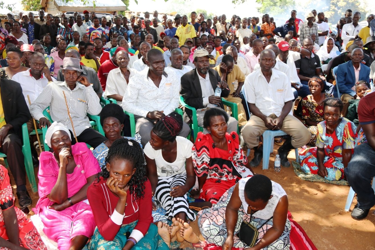
- The new wave of floods has swept through a distance of more than 1,500 meters from Lake Kyoga. The most affected areas in Nakasongola include Lwampanga Town Council, Kabasombwe, Kyambogo, Kibuye, Moone, Namunani and Kitalaganya fish landing sites.
The new wave of floods from Lake Kyoga and the Ssezibwa River that have swept through gardens and homesteads in Nakasongola District for the second time in three years has ignited safety concerns amid the deteriorating water bodies ecosystem.
Sharing the Lake Kyoga waters with more than 15 other Districts, Nakasongola located west of the Lake Kyoga has now had 20 out of its 28 landing sites prone to floods in the past three years beginning 2021. Permanent structures including homes and institutions such as health units, schools and religious places of Worship have been affected.
While environmentalists and authorities had counted on the demarcation process of the 200 meter buffer zones in light of the 2021 flash floods that displaced 5,000 households, the new wave of floods are a big concern among the different stakeholders. The flood fears come at a time when Nakasongola is struggling with the other climate change effects that are a result of the loss of the natural forest cover and wetland areas.

Ms Jamira Nakiyimba, the Lwampanga Town Council LC3 Vice Chairperson believes that the new wave of floods will perhaps shape the future planning process for all areas near Lake Kyoga among other water bodies.
“We are caught in a state where property and life is ever at risk because of the unpredictable behavior of the Lake Kyoga system. I have been a resident of Lwampanga Subcounty for more than 30 years but the floods were not a big problem in the area. I now believe that the compromised ecosystem could be the reason for the frequent floods,” she says.
About 60 households that had resettled and embarked on farming projects at the former flood zones of the year 2021 have now fled the areas again. The established buffer zone of 200 meters is not tenable. Government in coordination with environmentalists must establish the cause of the floods and possibly have a permanent relocation plan for families that are now prone to the Lake Kyoga floods, Ms Nakiyimba explains.
When the 2021 floods rescinded after more than 18-months in areas that got swept by floods and buildings submerged in October 2022, several households rushed back to areas that they respectively occupied.
Mr Dan Bukenya, a District Councilor representing Lwampanga Town Council reveals that households that occupied the former flood areas have again been displaced by the new wave of floods.
“As leaders, we played our role through sensitization but our efforts could not change the mindset of some of the people that decided to go back to the former flood areas. The floods have now passed some of the established buffer mark stones recently established,” he said.
District leaders weigh in;
While the district leadership in Nakasongola is trapped up in the climate change challenges that partly explain the frequent floods, prolonged dry spell, loss of forest cover and degraded soils, the flood related challenges are devastating according to the District LC5 Chairperson Mr Sam Kigula.

Section of a road cut off by the Lake Kyoga floods in Wabinyonyi Subcounty, Nakasongola District.
“We had earlier at the respective district planning meetings engaged the people that derive their respective livelihoods at shore lines of lake Kyoga to consider a possible relocation to safer areas. Unfortunately, Nakasongola District Local Government has no capacity to find alternative settlement areas for the displaced persons,” he says.
The only safer and likely area that can only accommodate about 2,000 households is at the Kyalubanga central forest reserve land that is due for degazetting by the government. Unfortunately several of the displaced households are still very defiant.
They decided to go back to the former flood areas, against the advice of the experts. They are now caught in their own trap although the government has the mandate to make the necessary interventions, the Nakasongola LC5 Chairperson explains.
Degraded ecosystem;
While it is easy to refer to the frequent floods as a natural calamity that may not be easily controlled, the Nakasongola District Acting Natural Resources Officer Mr Richard Andama reflects on the human activity that has tampered with the ecosystem for the Lake Kyoga and River Ssezibwa.
“When the ecosystem of the water body is destroyed through human activity, we cannot resist the results. I believe that the floods are a result of the unregulated human activity targeting the different water catchment areas. Even after the sensitisation, the residents are ever at war with nature,” he says.
Demarcating the buffer zones;
As part of the effort to safeguard both the Lake Kyoga and Ssezibwa buffer zones, Nakasongola District Local Government in coordination with the Ministry of Water and Environment embarked on a project to demarcate the buffer zones for Lake Kyoga and River Ssezibwa.
Nakasongola District environment officer Mr Richard Andama explains that while the idea was hatched after the 2021 floods, the implementation got delayed by the slow pace at which the flood water receded to its original boundary areas.
“We were able to demarcate the water shore lines as guided by the 200 meter distance from the water body. We demarcated 54kms at Ssezibwa River, 12ms in Kalungi Subcounty and 4kms near the Kafu River. Because of the fewer funds available for the project, the District could not continue with the demarcation of the larger parts of Lake Kyoga,” he says.
Unfortunately the new wave of floods has swept through a distance of more than 1,500 meters from Lake Kyoga. The most affected areas in Nakasongola include Lwampanga Town Council, Kabasombwe, Kyambogo, Kibuye, Moone, Namunani and Kitalaganya fish landing sites. The floods have cut off the roads linking the different villages while gardens and houses have been submerged for the second time in a period of three-years, Mr Dan Bukenya, a District Councilor representing Lwampanga Town Council reveals.
Some of the access roads that have been washed away and cut off by the rising water levels include the Moone-Kibuye-Zengebe- Kafu road and the Nakasongola Kazwama road.
District seeks support;
The campaign to protect the wetland areas against degradation can only be enhanced through the combined effort of all stakeholders.
Nakasongola RDC Mr Saleh Kamba says that the floods come with a lot of challenges that cannot be handled by a single entity such as Nakasongola District Local Government but a combination of the different stakeholders including the Central Government, Civil Society and many other partners.
“We also need to continue the sensitization process for people that encroach on the wetland areas. The activities carried out at the different wetland areas should help add value to the ecosystem and not degradation,” he says.
Recent relocation efforts of flood victims;
When Nakasongola District first experienced the first major floods in 2021, the district leaders made efforts to have a section of the displaced households resettled at the Kyalubanga central forest reserve land.
The resettlement has not been easy as the district waits on the government degazetting process of the forest land as directed by President Museveni in 2019.
Environmentalist weighs in;
The wetlands and forest resources in Uganda can only be protected through pro-active policies and strict guidelines enforced by government departments. Mr John Bweeba, an Environmentalist is concerned that while the government through the National Environment Authority has clear wetland management laws that regulate wetland activities, they are left redundant.
“We should have unregulated activities at the wetlands. We have also seen individuals and companies establishing permanent structures at the wetlands against the set laws regulating such activities. I also advise people near the lakes and river banks to settle a distance of about 1.5kms from the water body buffer zones for safety,” he says.
Because most water catchment areas have been destroyed, the water easily floods. Papyrus swamps that once covered many of the catchment areas for Lake Kyoga have been turned into factory areas and gardens. This possibly explains the now frequent flooding from Lake Kyoga and River Ssezibwa in Central Uganda, Mr Bweeba explains.

Children draw water at a section of the flooded areas of Lwampanga Town Council in Nakasongola District on October 24, 2023.
Report
Lake Kyoga, most degraded wetland resource - NEMA
Uganda is battling the degradation of its natural resources through different fronts; the State of Environment report for the year 2018-2019 produced by the National Environment Management Authority (NEMA) identified Lake Kyoga as one of the most degraded wetland resources.
The report that highlights the total area of devastation coverage for Lake Kyoga at 42 percent, L.Edward at 34 percent, L.Victoria at 29 percent and Lake Albert at 28 percent warned of devastating effects and possible wetlands depletion by the year 2046 if no deliberate interventions take shape in Uganda.
For L.Kyoga, the biggest threat to the very existence of the wetland is attributed to the ever increasing conversion of intact wetlands for subsistence cultivation of mainly Rice, Sugar Cane, yams and maize. The 2018-2019 State of Environment report revealed that Uganda was losing an average of 791 square kilometers of its wetland. There was also a sharp decline in the wetland coverage from 15.5 percent in 1994 to 13 percent in 2017.
Nakasongola is not the only District that shares the Lake Kyoga Waters. But the 2021 Lake Kyoga floods displaced more that 5,000 households and submerged schools and a Health Unit at Lwampanga Town Council. New wave of floods that began in the third week of October 2023 has already displaced over 60 households.


